Millstone path
Gerolstein-Müllenborn
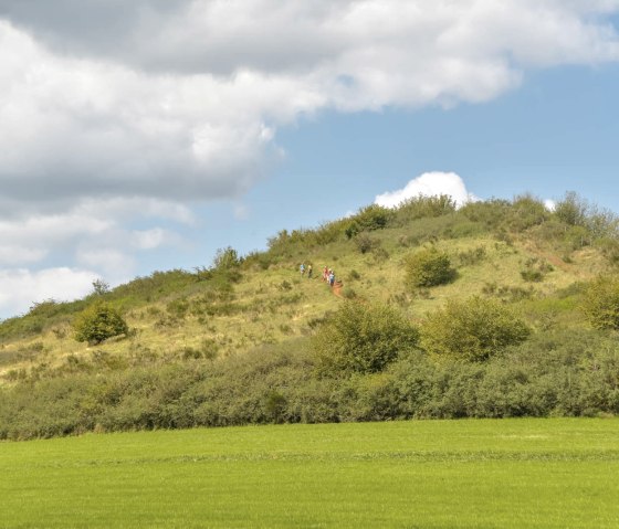
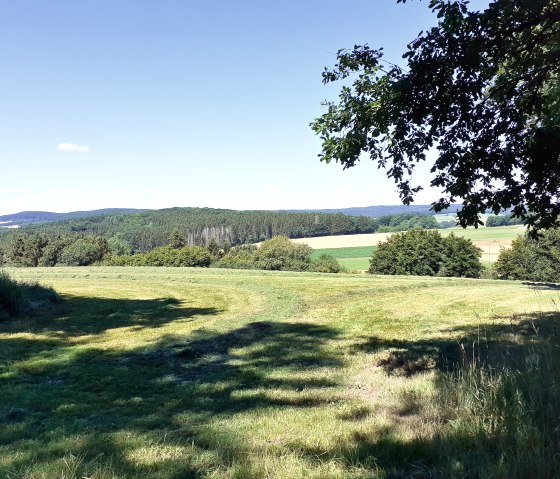
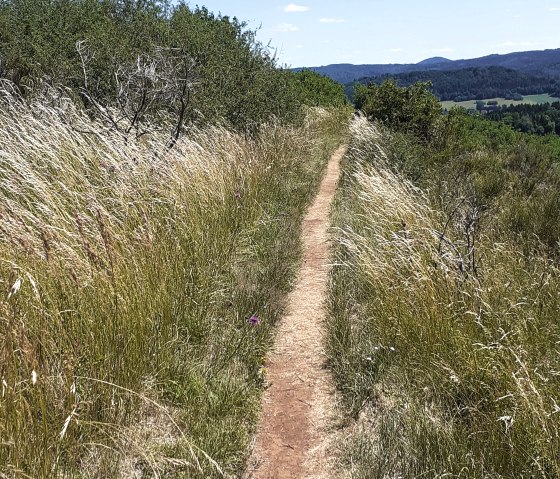
The varied hiking trail leads us past the rockfall, a Celtic grave , as well as the "Rother Kopf" with its millstone caves and impressive far-reaching views.
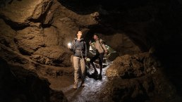
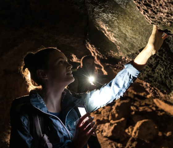
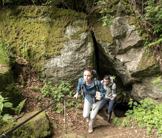
The "Rother Kopf" is a typical basaltic Eifel volcano, just under 600 m high. The porous, slaggy basalt from the "Rother Kopf" was the best raw material for making millstones from Roman times until the 19th century. The millstones were mined in underground galleries, and numerous millstones are still "stuck" to the cave walls today. After exploring the caves, you can rest on the throne of Vulcanus and enjoy the magnificent views of the Eifel landscape.
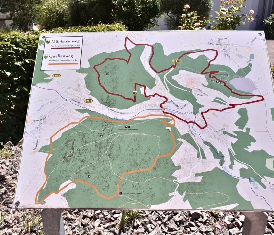
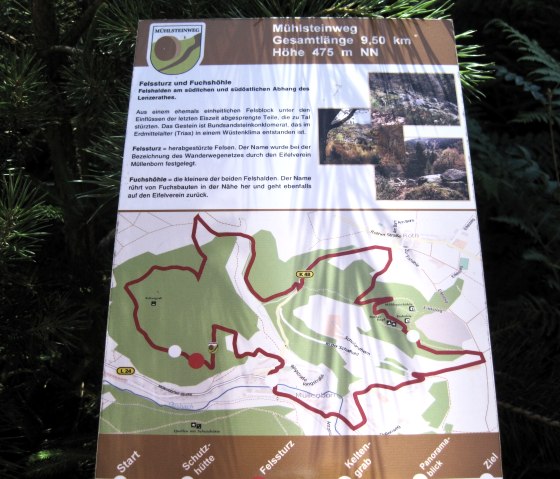
We start our hike in the centre of Müllenborn, right next to the small reservoir. From here we follow the L24 for a few metres before turning right up "Frickbachstraße" and shortly afterwards left into the dead-end street "Auf der Held". Passing the residential houses there, we turn right into an inconspicuous forest path, which shortly afterwards gives us a breathtaking view of Müllenborn.
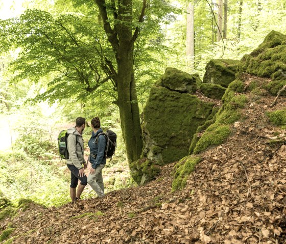
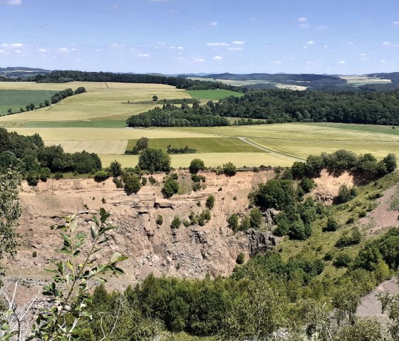
On the way through the magnificent Eifel forests, with their always impressive distant views, you pass the rockslide. These are rock heaps (rockslide and fox cave), which were blasted out of a formerly uniform rock block under the influence of the last ice age and fell down to the valley. We reach the Celtic grave, which was discovered in 1913 and is a remnant from the Celtic past of the Eifel.
The path now winds through old forest stands towards the village of Roth. Shortly before the church, we turn right into the path "In Holmes". Uphill, we then enter the forest after a few hundred metres and follow the path markings that lead us directly to the Rother Kopf. Here we enjoy the magnificent view over the Oosbach valley. From here, however, it is also worth taking a short detour to the nearby millstone caves and ice caves. The way there is well signposted.
The route then heads leisurely down the valley towards Müllenborn, passing Landhaus Müllenborn, which is predestined for a short culinary break on its inviting sun terrace. After this break, we descend into the village. We turn right into the centre of the village and reach our starting point.
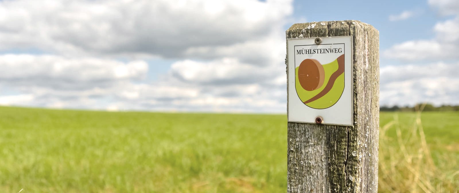
Marking of the tour:
