"Volcanoes, Water, Eifelosaurus" Oberbettingen

Oberbettingen

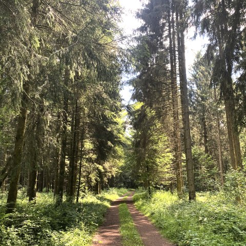
The varied circular trail leads through Eifel forests, open landscapes with meadows and fields, past old quarries and volcanoes and along small streams and watercourses. On the heights, in good weather, you have a view of the Kasselburg near Pelm, as well as the Wahlhausen Chapel near Steffeln.

In 1904, a well-preserved vertebrate skeleton, the Eifelosaurus triadicus, was found in the former Wolfskaul quarry. The Eifelosaurus lived in the middle Buntsandstein period about 235 million years ago. Volcanic deposits can be seen at the Lühwald outcrop. Here you can distinguish between several eruption phases. The trail continues around the Wetschberg and Mühlenberg volcanoes. From Basberg, follow the Tieferbach stream and then turn off to return to the starting point after circling the Ruderbüsch volcano north of Oberbettingen.

mehr lesen

Marking of the tour:

  • 2, © Touristik GmbH Gerolsteiner Land
pdf: oberbettingen-vulkane-wasser-eifelosaurusgpx: gpx-802447518-oberbettingen-vulkan-weiten-eifelosaurus

Share content:

Along the route

Open map

Bitte akzeptieren Sie den Einsatz aller Cookies, um den Inhalt dieser Seite sehen zu können.

Alle Cookies Freigeben

More information about this route

Start:

Oberbettingen sports field, Lissendorfer Straße, 54578 Oberbettingen

Destination:

Oberbettingen sports field, Lissendorfer Straße, 54578 Oberbettingen

Distance: 11.1 km

Duration: 3:0 h

Difficulty: easy

Ascent: 143 m

Descent: 143 m

Touristik GmbH Gerolsteiner Land

Burgstraße 6
54576 Hillesheim
Phone: 06591 / 13 3000
Fax: 06591 / 13 9300

write e-mail

Plan your journey

per Google Maps

guest survey

Guest survey

Are you currently spending a vacation in the Eifel or have you spent a vacation in the Eifel in the last 6 months? We would be delighted if you  take part in our guest survey. As a thank you, you can win an Apple iPad.