NEW! Vulkaneifel children's map
Discover the region with joy - this is what the new children's map of the Vulkaneifel makes possible.
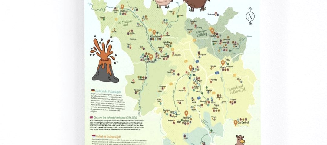
In cooperation between Touristik GmbH Gerolsteiner Land, Gesundland Vulkaneifel, and the tourist information offices in Kelberg and Wittlich, a children's card was designed. Colourful and cheerful, the designed card is now available in the various visitor centres.
There is something for everyone! For each region, the map shows great cycling and hiking tips, nature experiences, leisure activities such as cinemas and swimming pools or adventure playgrounds with different symbols on the map. This makes it quick and easy to find the desired excursion destinations. On the reverse side, the highlights of each sub-area are explained in a child-friendly way with short descriptions and address and contact details are given.
The map strengthens the cooperation between the various neighbouring municipalities in the Volcanic Eifel and launches a supra-regional map that now provides families with children with a valuable overview of the numerous holiday and leisure opportunities.
The map is available free of charge at the tourist information offices in all sub-regions.
Click here to order the Vulkaneifel children's map free of charge!


